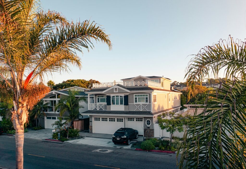
A Sacramento home can look reassuring during a sunny open house. The yard is dry, the street appears level, and the seller may say flooding has never been a problem. None of those observations explains how the property relates to nearby rivers, levees, or mapped flood hazards.
Sacramento flood maps help buyers investigate those questions, but the maps serve different purposes. A FEMA flood zone, a levee-failure scenario, and an evacuation map should not be read as interchangeable assessments.
The useful question is not simply, “Is this home in a flood zone?” It is, “What does each source tell me about this property, and what still needs checking?”
Start With the Correct Property and Jurisdiction
Before interpreting colors or boundaries, confirm that you are researching the right location. Match the street address with the assessor’s parcel number, and check whether the property falls within Sacramento city limits or another jurisdiction.
The City’s flood-map resources describe conditions within its coverage area. A Sacramento mailing address alone should not determine which local department you contact.
Look closely at where an online search places its marker. If the marker appears near a parcel edge, a detached building, or the street, do not assume it precisely identifies the house.
Save the map title, source, and date alongside your notes. A screenshot without a legend or identifying information can become difficult to interpret when a lender, insurer, or inspector asks where it came from.
Understand What the Different Sacramento Flood Maps Show
The City provides several flood-related maps, while the California Department of Water Resources supplies additional levee information. Their purposes differ:
| Map or resource | Main use for a buyer | Important limitation |
|---|---|---|
| FEMA Flood Insurance Rate Map | Identifying mapped flood zones relevant to insurance and floodplain requirements | It does not answer every property-level drainage question |
| City levee-dependence map | Showing areas that rely on levees for protection | It does not show flood depths |
| City hypothetical levee-breach maps | Exploring modeled flooding and evacuation conditions | Results depend on the selected breach scenario |
| City ultimate flood-depth map | Showing modeled depths without protective levees or intervention | It is not a forecast of the next storm |
| State Levee Flood Protection Zone map | Identifying potential exposure associated with State-Federal levee failure | It serves a different purpose from FEMA mapping |
The City explains the distinctions between its map layers, and the state specifically cautions that its levee maps should not be confused with FEMA Flood Insurance Rate Maps.
Check the Effective FEMA Map and Any Amendments
Ask which FEMA map is currently effective for the property. Do not rely only on an old disclosure attachment or a screenshot supplied with the listing.
FEMA identifies its Map Service Center as the official public source for flood-hazard information supporting the National Flood Insurance Program. Map amendments and revisions can also be issued through formal letters.
If the seller says the house was “removed from the flood zone,” request the document supporting that statement. Ask the lender and local floodplain staff whether it applies to the building you are buying and remains relevant to the current map.
Useful questions include:
- What is the effective map date?
- Which zone applies to the house?
- Are there applicable Letters of Map Amendment or Revision?
- Is an update underway that should be considered separately?
Resolve conflicting answers before treating any one description as settled.
Separate Mortgage Requirements From Flood Exposure
“No flood insurance required” is a statement about a particular requirement. It is not a complete assessment of the home’s exposure.
The National Flood Insurance Program explains that flood insurance is required for properties in Special Flood Hazard Areas with government-backed mortgages. Some lenders also require coverage outside high-risk areas. Most homeowners insurance policies do not cover flood damage.
Ask your lender for its determination and discuss insurance options independently. Even when coverage is optional, obtaining a quote lets you consider the cost before committing to the purchase.
Avoid using the seller’s premium as your budget. Request a quote for your purchase, intended occupancy, coverage limits, and deductible. FEMA’s current pricing approach considers property-specific factors beyond the mapped zone alone.
Recognize the Risk That Remains Behind Levees
Levees are central to Sacramento’s flood protection, but their presence does not eliminate every possible flood event.
The state describes “residual risk” as the remaining exposure from events exceeding a protection system’s design or from an unexpected failure. Its Levee Flood Protection Zone maps are informational and do not independently establish flood-insurance requirements.
For buyers, this creates two separate lines of inquiry: what protection serves the area, and what could happen if that protection is overwhelmed or fails.
If a listing mentions completed improvements or planned levee work, ask for the project source and its relevance to the parcel. A broad statement that “the levees have been upgraded” does not explain the property’s current map designation or lender requirements.
Read Levee-Breach Scenarios as Models
Sacramento’s evacuation maps examine hypothetical levee breaks during a 200-year flood event. They estimate water levels, the time water may take to rise, and rescue or evacuation conditions under stated assumptions.
Start with the overview identifying breach locations, then examine the relevant scenario files. A map for one break location may show different consequences from another.
Do not interpret a modeled arrival time as a guaranteed window for leaving home. Actual emergency instructions depend on the event, including where flooding occurs and which routes remain usable.
Instead, use the maps to identify practical household questions. Would someone need assistance leaving? Are pets or mobility equipment part of the plan? Could family members be on opposite sides of a disrupted route?
These considerations matter when assessing whether a home suits your household, even though they are not features listed in the sales brochure.
Investigate Drainage at the House Separately
Regional maps cannot replace a property inspection. The state notes that levee-protected areas may also experience drainage problems and other sources of flooding on the landward side of a levee.
Ask the inspector to explain visible drainage concerns and whether further evaluation is appropriate. Points worth discussing include ground sloping toward the house, low exterior doorways, downspout discharge, crawl-space conditions, and evidence of previous water entry.
Ask the seller specific questions rather than only, “Has it flooded?”
For example: Has water entered the garage or crawl space? Has the yard held standing water after storms? Were drains, pumps, grading, or landscaping changed to address a problem?
Request available repair records and photographs. A documented explanation is more useful than guessing whether fresh paint or a newer floor indicates past damage.
Review Disclosures and Insurance Before Deadlines
Keep the flood review within your purchase timeline. If a disclosure report, lender determination, or map raises a question, discuss it with your agent while you still have time to obtain an answer.
The California Guide’s first-time homebuyer guide places natural-hazard research alongside inspections, insurance, and other escrow checks. Reviewing them together helps you see how one finding affects the overall purchase.
Insurance timing also deserves attention. NFIP policies generally have a 30-day waiting period, although exceptions include certain purchases connected with making or changing a mortgage loan. Confirm the effective date for your particular transaction rather than assuming payment creates immediate coverage.
Before removing contingencies, aim to have a clear record of the map determination, unresolved physical concerns, insurance cost, and any further advice you need. If those items remain uncertain, raise them before the contractual deadline passes.
Note: Flood maps, insurance requirements, and local conditions can change. This article provides general information, not a property-specific flood assessment or insurance determination. Review the City of Sacramento’s flood maps, the FEMA Map Service Center, and applicable property records, and confirm outstanding questions with local floodplain staff, your lender, insurer, and qualified inspectors.